The Challenge
[Describe the site and what the client needed.]
The Approach
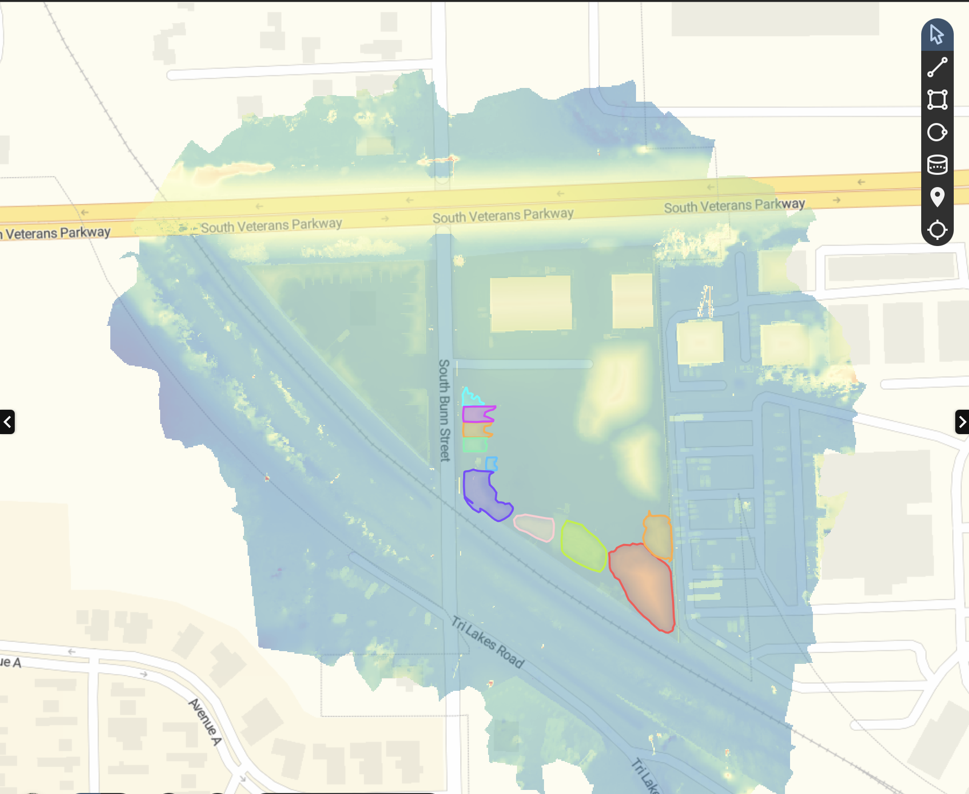
Construction site volumetric survey capturing multiple stockpile zones across an active job site. Deliverables include a survey-grade orthomosaic, digital surface model with elevation heat mapping, and precise cut/fill volume calculations for each designated zone. Data delivered in client-specified GIS and CAD formats for direct integration into project management and contractor workflows.
Service: Earthwork Volumetrics
Site Conditions
[Add terrain, vegetation, weather, or airspace notes.]
Results
- ▸Volume 2: Cut 9,547.97 yd³, Volume Differential 9,547.65 yd³
- ▸Construction progress monitoring
- ▸Stockpile inventory
- ▸Cut/fill verification
- ▸Contractor payment verification
- ▸Owner reporting
