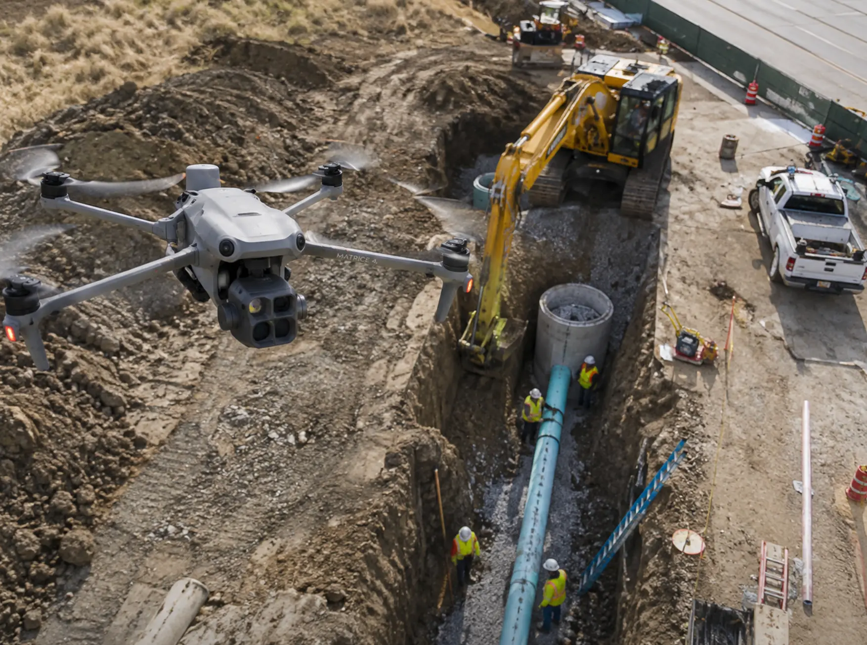
Protect Your Crew From Liability Claims Before You Break Ground
Aerial pre-construction documentation for sewer, water, and excavation contractors — timestamped proof of site conditions before work begins.
Veteran-owned · FAA Part 107 · North Texas
One pre-existing crack in a driveway. One "you damaged my fence" call.
On excavation and utility jobs, property damage disputes can cost thousands — even when your crew did nothing wrong. Without documentation, it's your word against the property owner's.
WingWorx Geospatial flies your site before you dig.
We capture high-resolution aerial imagery and 3D mapping of the full property — driveways, fences, landscaping, structures — so you have a complete, timestamped record of existing conditions before work starts.
If a claim comes up later, you have proof.
Evidence, captured before the first bucket of dirt.
High-Resolution Aerial Photos
Full-site imagery covering driveways, fences, landscaping, and structures — every existing condition on record.
3D Mesh Model
A measurable model of the property you can reference from any angle, long after the crew has left.
GPS-Accurate Mapping
RTK-grade positioning so every image and measurement is geolocated and defensible.
Delivered Fast
Your documentation package is typically delivered within 2 business days of the flight.
No Crew Disruption
One flight, done. We work around your schedule and never slow the job down.
Built for contractors who need documentation without slowing down the job.
- Sewer & water line contractors
- Excavation & grading crews
- General contractors on municipal projects
- Site engineers requiring pre-construction records
Three steps, start to deliverable.
Schedule your flight
Tell us the site address and your timeline. We coordinate a flight window before ground is broken.
We fly the site
FAA Part 107-certified pilot, RTK-accurate GNSS, full property and adjacent right-of-way captured.
You get your report
Photos, 3D model, and condition documentation delivered digitally — typically within 2 business days.
WingWorx isn't a drone photography vendor. We're the company that protects contractors from damage claims — with survey-grade, timestamped evidence that stands up when someone says you broke it.
Trusted by excavation, utility, and site development crews across North Texas.
Serving DFW and North Texas contractors.
We fly job sites across the Dallas–Fort Worth metroplex and North Texas, including regular work out of GVT (Majors Field, Greenville).
Don't Start the Next Job Undocumented
Get a quote in minutes and we'll walk you through exactly what the deliverable looks like.