Wingtra Ray
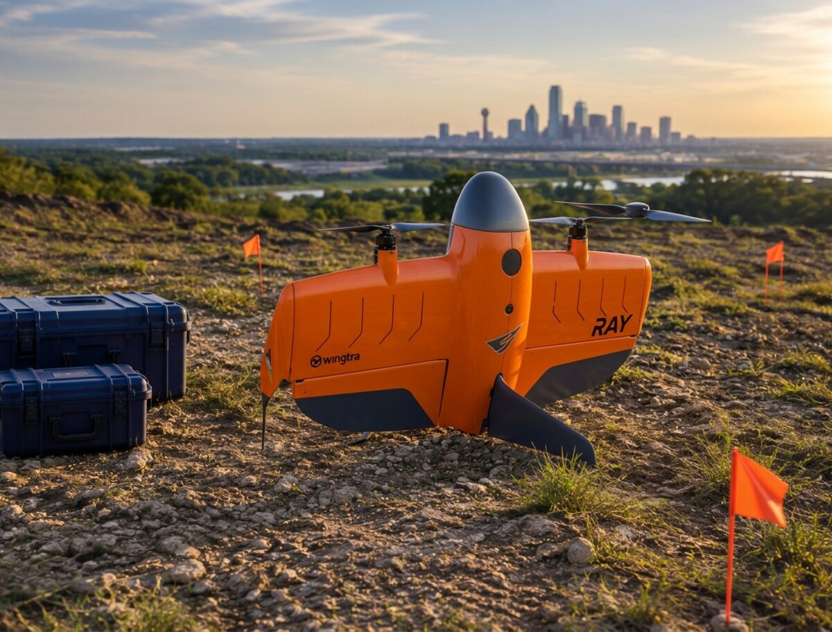
Our large-area mapping platform combines vertical takeoff and landing with fixed-wing efficiency. It is built for long corridors, broad construction sites, and acreage that would demand multiple multirotor flights.
Aircraft, sensors, and ground-control systems selected for reliable field operations and survey-grade deliverables across North Texas.
A mission-specific fleet lets us match coverage, payload capacity, and site constraints without compromising the data product.

Our large-area mapping platform combines vertical takeoff and landing with fixed-wing efficiency. It is built for long corridors, broad construction sites, and acreage that would demand multiple multirotor flights.
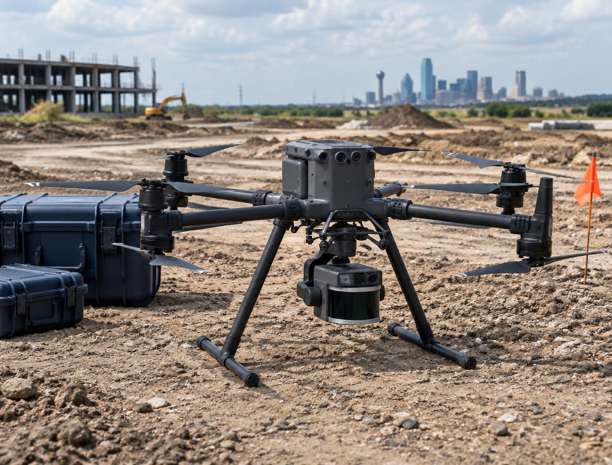
The Matrice 350 is our adaptable heavy-lift platform for high-density LiDAR, precision photogrammetry, and controlled inspection work. Its stable hover and swappable payload system make it the right aircraft for complex sites.

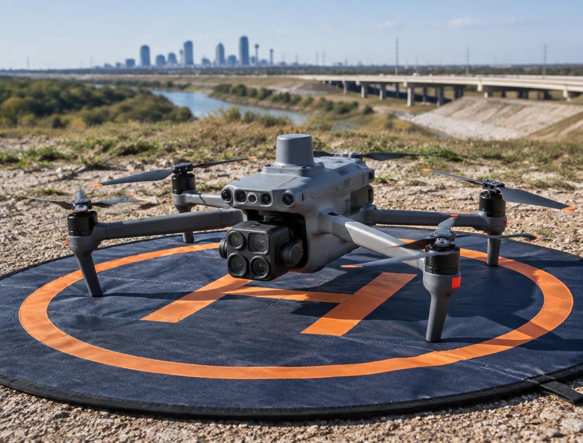
Compact enough for fast deployment and capable enough for high-detail mapping, the Matrice 4E supports rapid site documentation, structure capture, progress monitoring, and smaller survey missions.

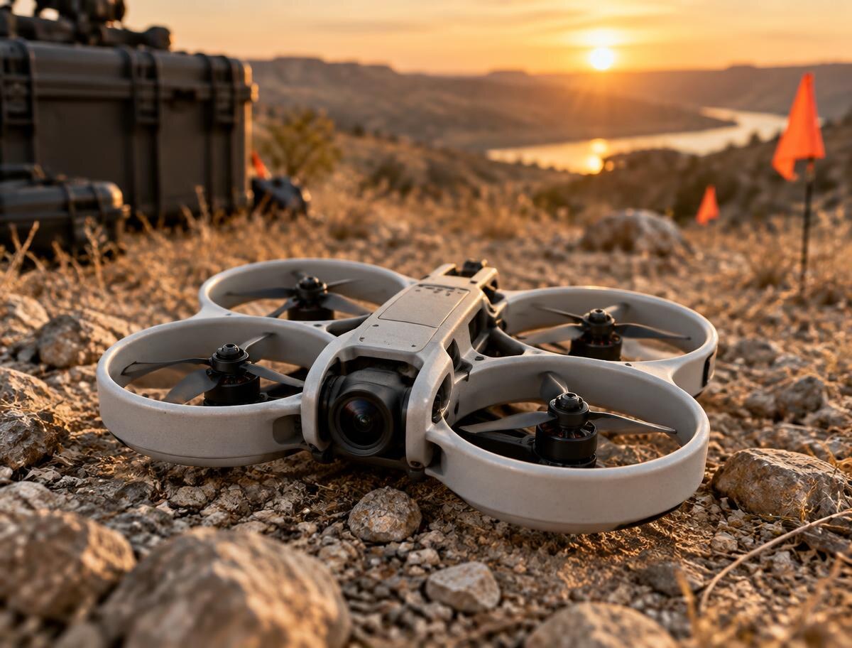
The Avata 2 is our indoor and close-quarters aircraft. Ducted propellers let it fly safely inside structures, under bridges, and through confined spaces where open props are a hazard, capturing immersive FPV footage standard platforms cannot reach.
Interchangeable LiDAR, photogrammetry, and inspection sensors capture the right kind of evidence for each engineering question.

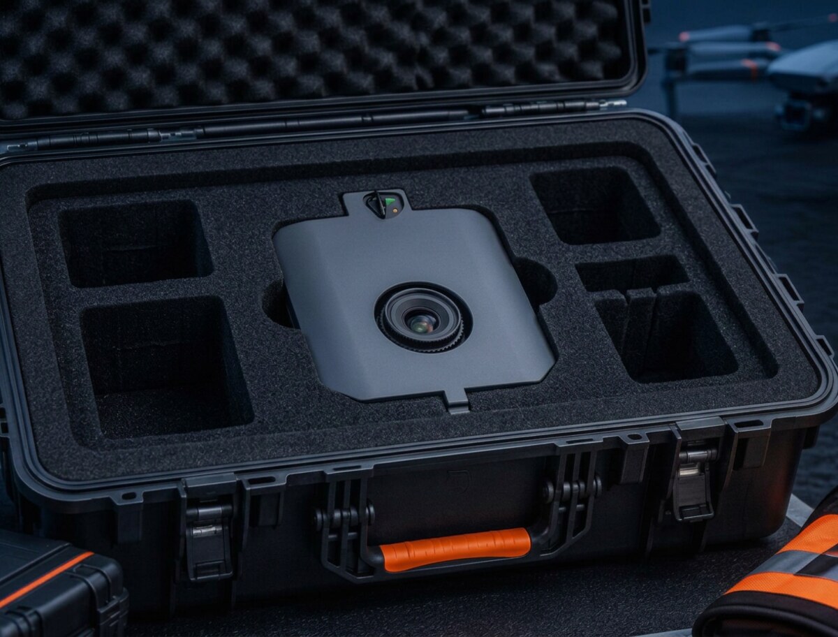
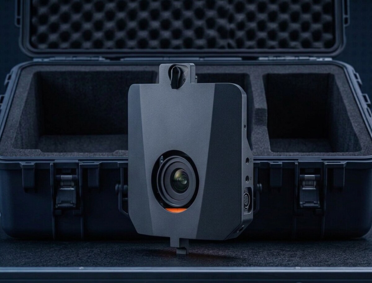
A wide-coverage mapping camera for efficient, survey-grade orthomosaics and surface models. The large sensor captures fine ground detail while reducing the number of flight lines required over expansive sites.

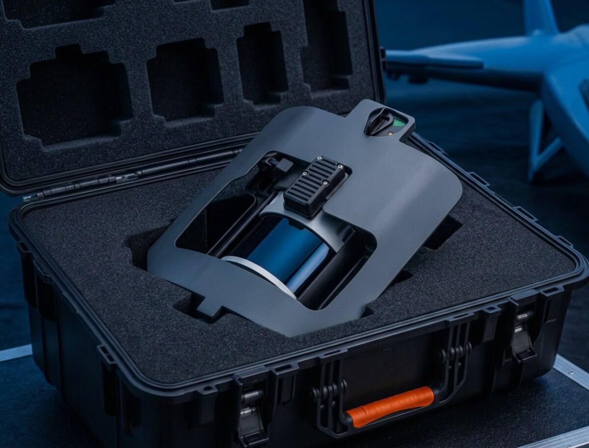
Dense laser returns expose terrain beneath vegetation and record vertical features with precision. We use this payload for corridors, drainage, topography, canopy analysis, and engineering-ready point clouds.

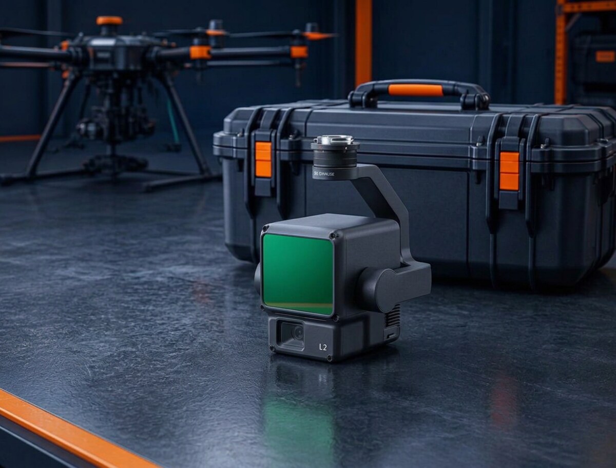
The L2 combines LiDAR, inertial navigation, and RGB imagery in a single payload. It gives field crews immediate coverage feedback and produces georeferenced point clouds for terrain, structures, and volumetric analysis.

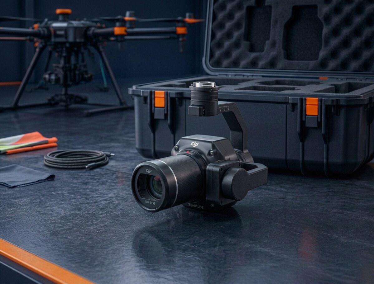
The P1 is purpose-built for precision aerial photography. Its global shutter and calibrated positioning support crisp orthomosaics, detailed 3D models, and repeatable construction documentation.

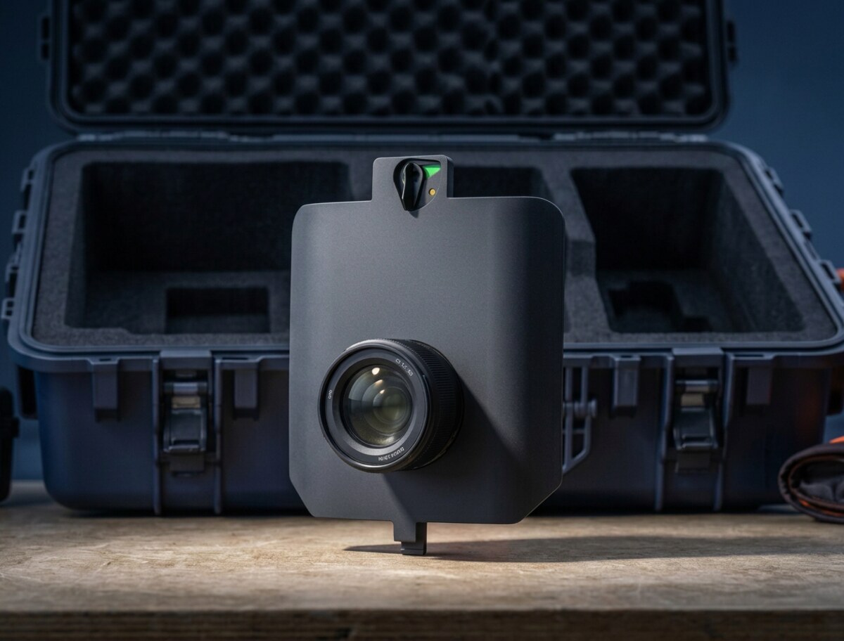
SURVEY61 prioritizes geometric consistency and fine surface detail. It supports precise base mapping, topographic products, and inspection-grade imagery from efficient fixed-wing missions.

INSPECT captures highly detailed imagery from a safe stand-off distance. It is suited to facade records, roof assessment, vertical infrastructure, and any mission where small defects must remain visible in the final model.
Measured control points and independent checkpoints connect the aerial mission to real-world coordinates and documented accuracy.

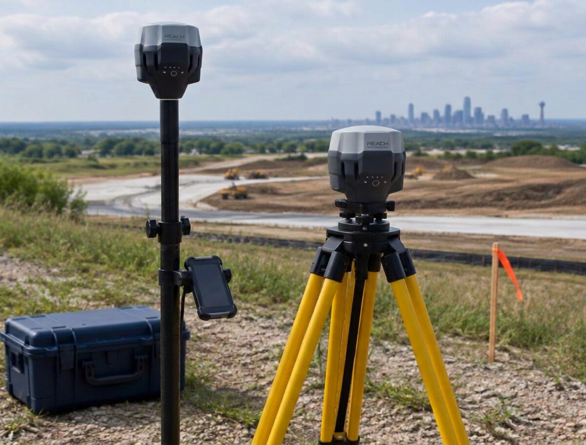
The RS3 system ties aerial data to measured ground control. Base and rover observations strengthen absolute accuracy, validate checkpoints, and give clients a defensible record of how each dataset was controlled.
We select the aircraft, sensor, flight plan, and ground-control method around the accuracy, coverage, and output your project requires. The result is not just a flight. It is usable data prepared for your engineering, GIS, inspection, or documentation workflow.
Explore survey capabilitiesTell us what you need to measure, document, or model. We will recommend the right collection approach and deliverables.