The Challenge
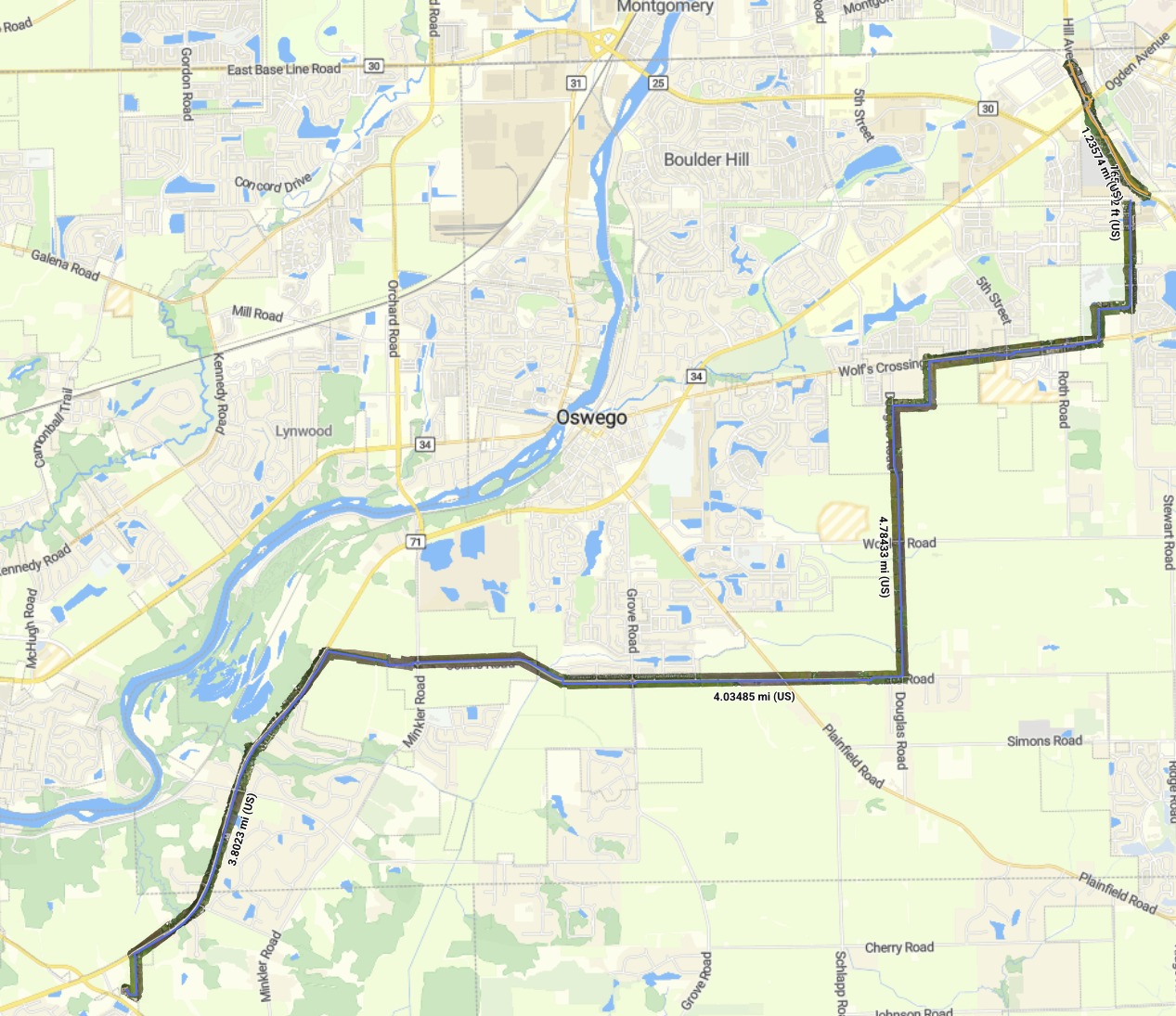
The client needed current, high-resolution imagery along a proposed [utility] route stretching about 14 miles through mixed terrain: busy arterial roads, residential neighborhoods, farm fields, a cemetery, and a river crossing area. Walking or driving the route for field review would take days, and public satellite imagery was too dated and too coarse for design work.
The Approach
We planned the mission as a series of corridor flights with the WingtraRAY that followed the route segment by segment, holding a consistent buffer on each side of the alignment. The imagery was processed into a georeferenced orthomosaic, and the client's proposed route was overlaid directly on the new imagery so designers could see exactly what the line crosses.
Site Conditions
The route turns sharply at several intersections, runs along live traffic on major roads, and passes homes, businesses, and open fields. Long straight runs alternate with tight jogs, which required careful flight planning to keep full coverage at every corner. [Add weather or airspace notes if relevant.]
Results
- ▸About 13.9 miles of corridor mapped in [X] flights
- ▸Five route segments, from a 166 ft spur to a 4.8 mile run
- ▸Proposed alignment overlaid on fresh imagery, showing every crossing, driveway, tree line, and utility pole along the way
- ▸Fine detail visible at full resolution, including pavement markings, curbs, and parked vehicles
