The Challenge
[Describe the site and what the client needed.]
The Approach
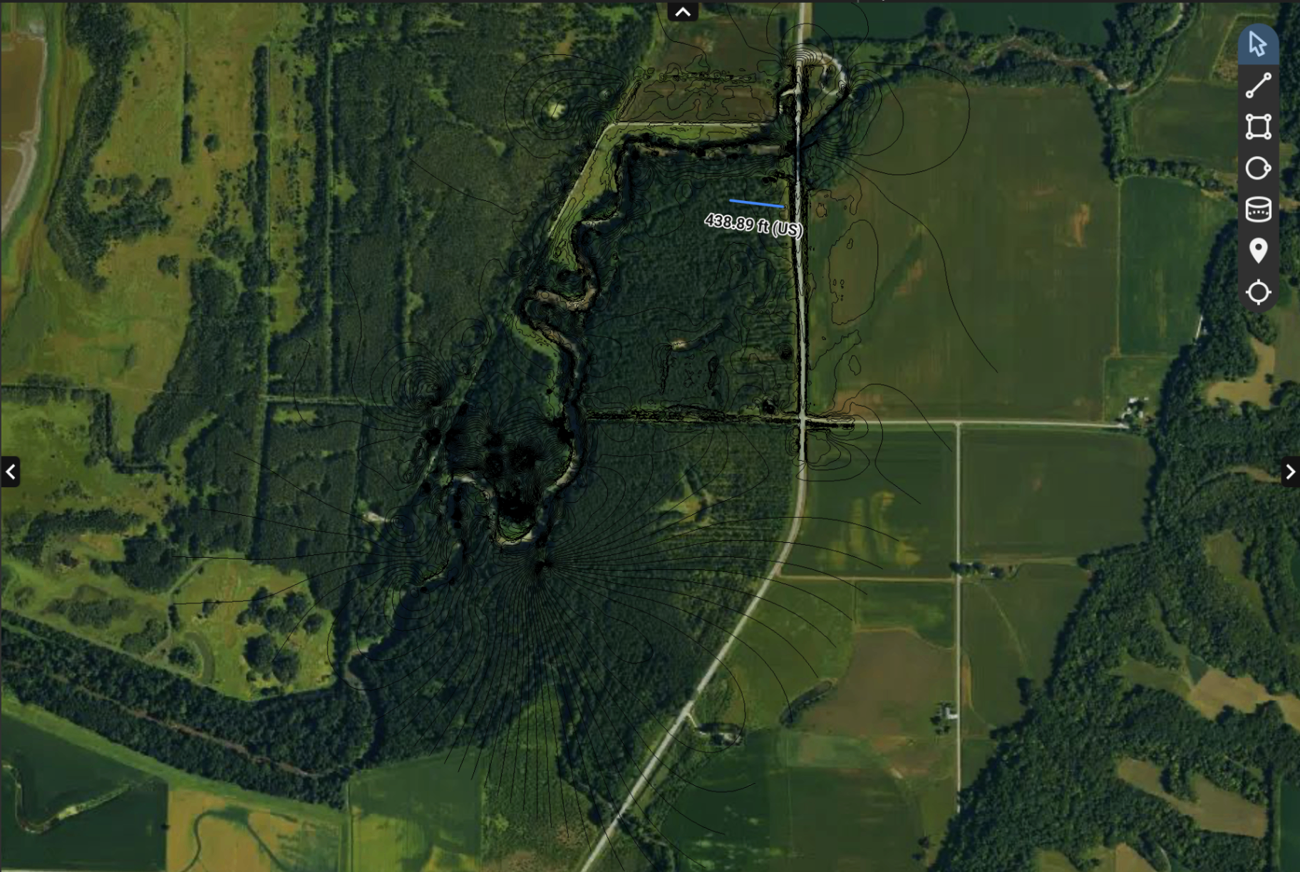
Linear corridor survey of an underground water line right-of-way through dense mixed vegetation. Deliverables include a survey-grade orthomosaic with contour overlay, classified point cloud, and bare-earth DTM, all georeferenced and GIS-ready. Contour intervals extracted from LiDAR-class data support civil design, drainage analysis, and utility corridor documentation.
Service: Drone Mapping
Site Conditions
[Add terrain, vegetation, weather, or airspace notes.]
Results
- ▸Utility corridor mapping
- ▸Drainage analysis
- ▸Civil design support
- ▸Environmental documentation
