The Challenge
The client needed an accurate inventory of sand, gravel, rock, and dirt stockpiles across a 12-acre yard. Measuring each pile by hand would have meant hours of crew time walking active piles around loaders and haul trucks, with results that are hard to repeat month to month.
The Approach
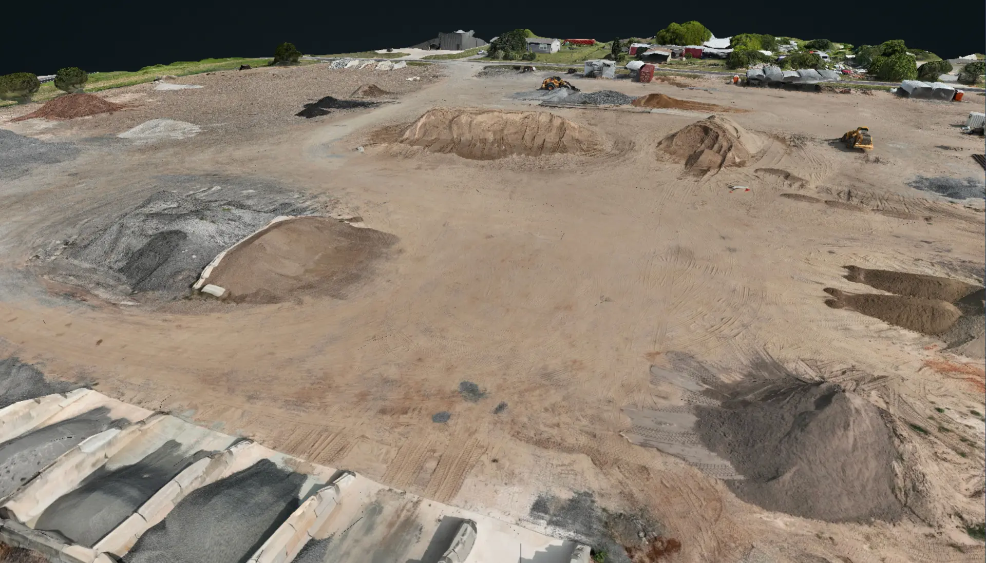
We flew the full yard in a single 14-minute Matrice 4E mission, capturing overlapping high-resolution imagery for photogrammetric reconstruction. An Emlid Reach RS3 RTK receiver established ground control so every measurement ties to survey-grade coordinates instead of satellite-only GPS. The imagery was processed in PIX4D into an orthomosaic, a dense surface model, and a 3D model, then each stockpile was outlined and measured with cut and fill analysis against a survey-established reference surface.
Site Conditions
The yard was fully operational during the flight, with loaders moving material, a truck scale in use, and concrete bunker bays holding separate products. Piles ranged from small rock and gravel mounds to sand piles over 700 cubic yards, with mixed materials spread across the site. No operations were paused for the survey.
Results
- ▸31 active stockpiles totaling about 2,715 cubic yards
- ▸Net site-wide volume of about 2,646 cubic yards after accounting for low-relief areas near grade (traffic lanes, scale pad, staging areas)
- ▸Largest single pile: about 711 cubic yards
- ▸Materials tracked separately: sand, gravel, rock, dirt, and red dirt
- ▸Full deliverable package in the client's hands within 24 hours of the flight